A template vision for Intersection, as a transit/out-of-home advertising concessionaire, to improve the experience of transit in major US cities with new customer amenities and the acceleration of agency efforts to grow and retain ridership.
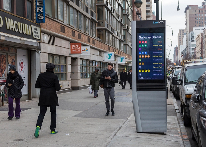
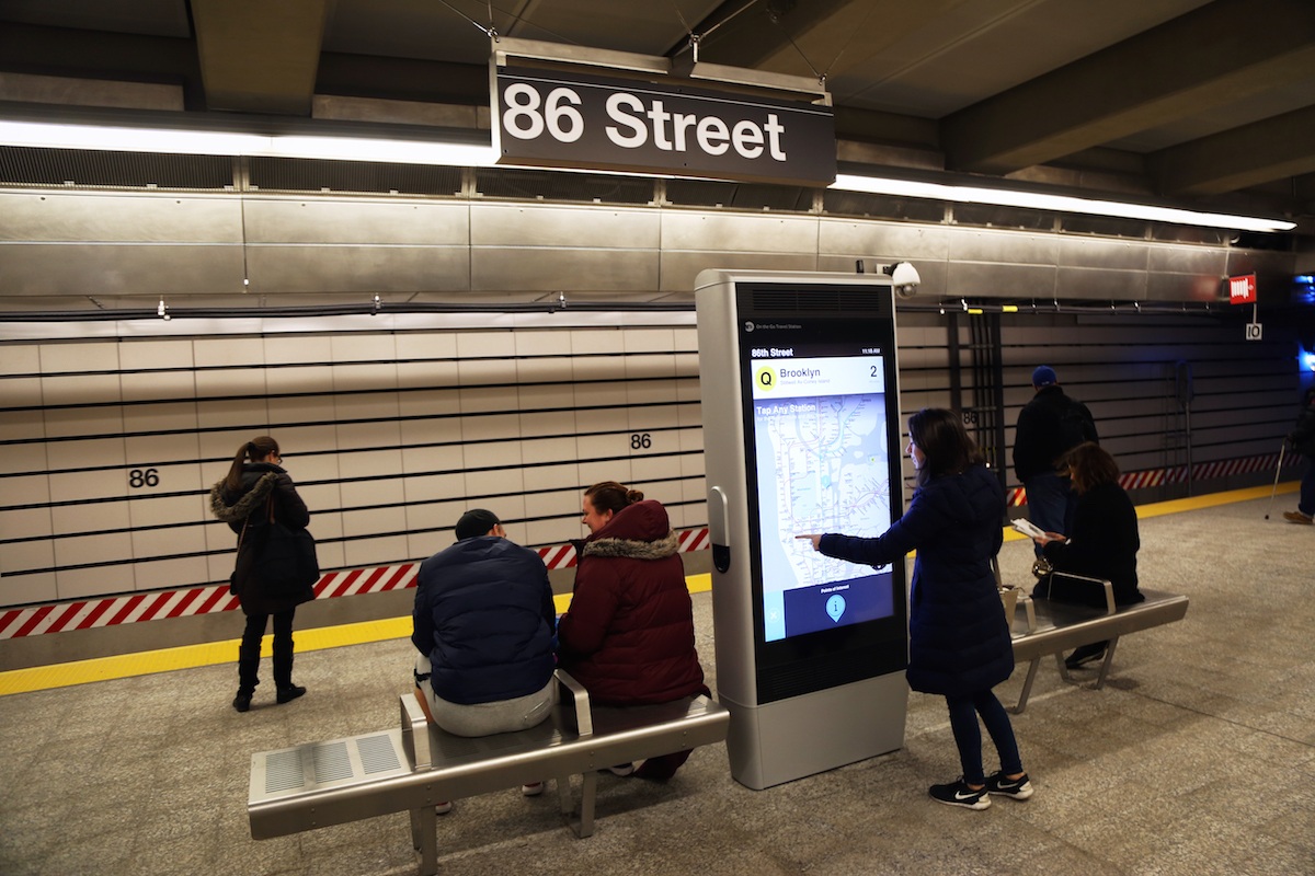
Presented in multiple proposals as a roadmap that included leveraging digital assets like advertising screens to better communicate with riders, sponsored in-station WiFi, funding of capital improvements such as new station lighting, wayfinding efforts and accessibility improvements, better customer information on things like elevators and escalators, as well as new street furniture including in-station benches and bus shelters.
Cited by the LA Metro Board as a key factor in awarding a contract to Intersection; even in cases of non-award, some ideas went on to be tested by the agency's own internal teams.
With Intersection. Project role: key author and subject matter expert, proposal project manager.